Log in
All resources
Create a design
1,095,865 Free Images of Maps Of Chaldea
maps with cartouches
atlas van der hagen
maps in the library of congress
atlas van der hagen (volume 1)
fonds ancely - bibliothèque municipale de toulouse - maps
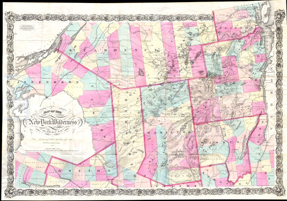
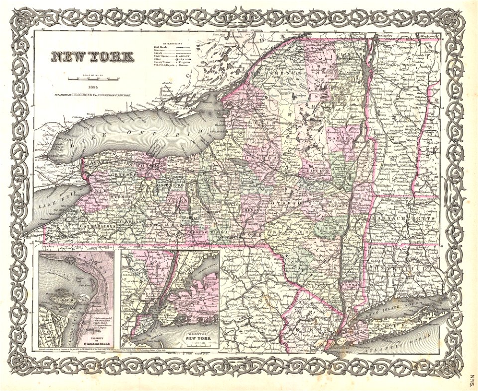
new york
maps by joseph hutchins colton
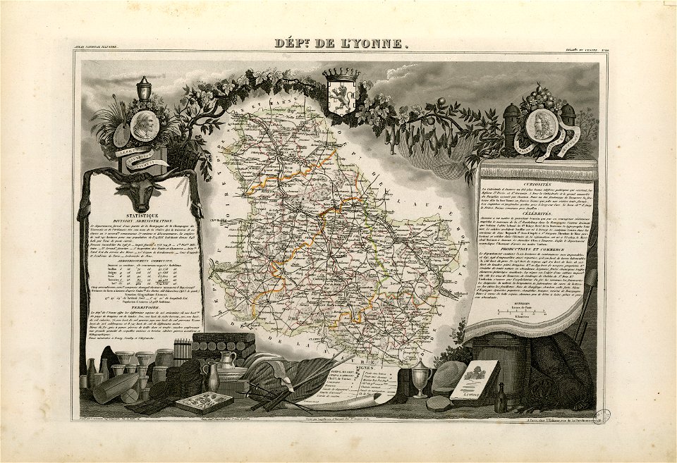
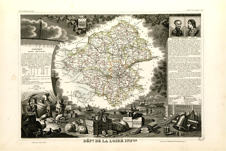
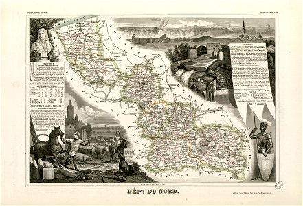
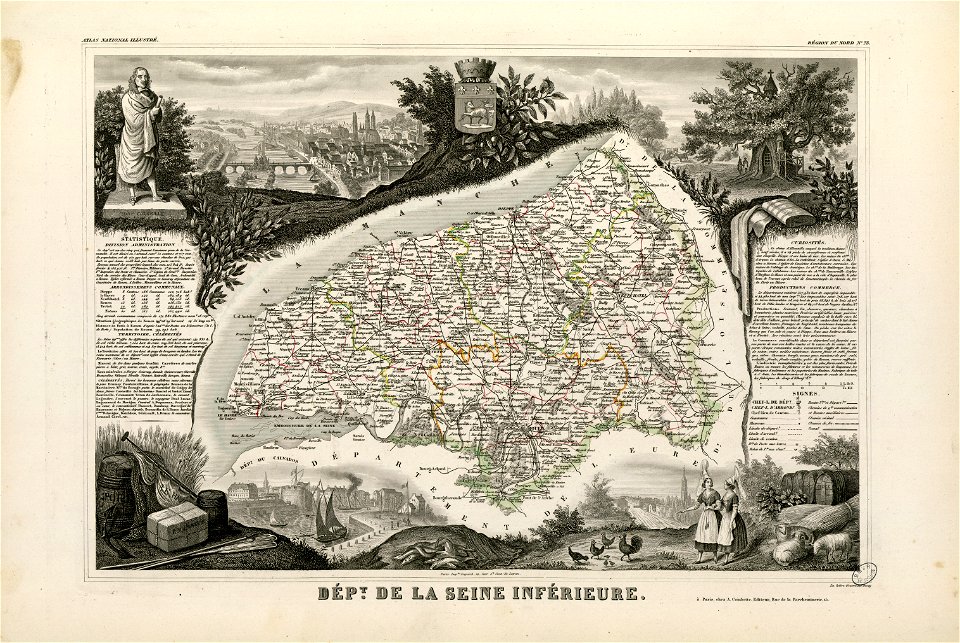
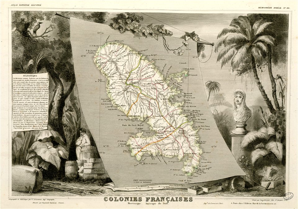
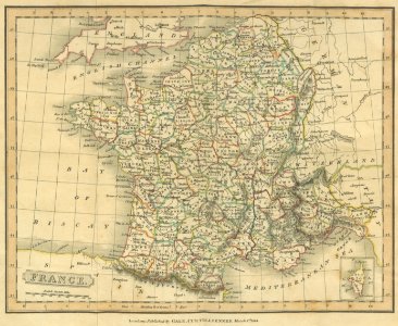
victor levasseur - maps of france
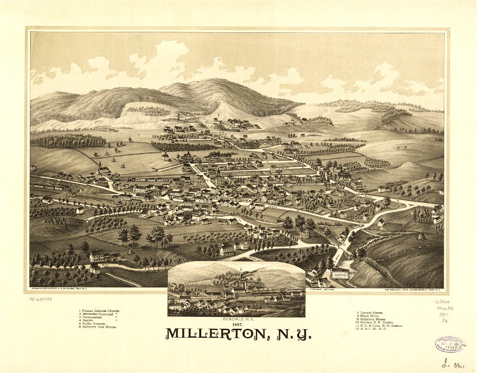
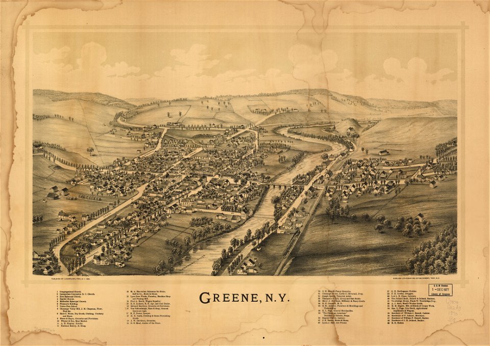
town maps by l. r. burleigh
1753 maps
details of old maps
old map
geographical illustrations by coronelli
maps of lefkada
maps of paris by braun & hogenberg
maps of paris from paris musées
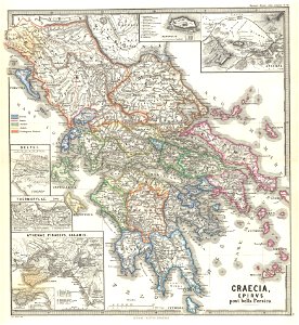
old maps of greece
giovanni camocio
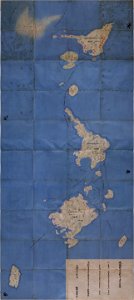
national atlas maps of occupied ryukyu islands
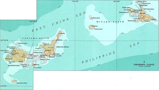
maps of sakishima islands
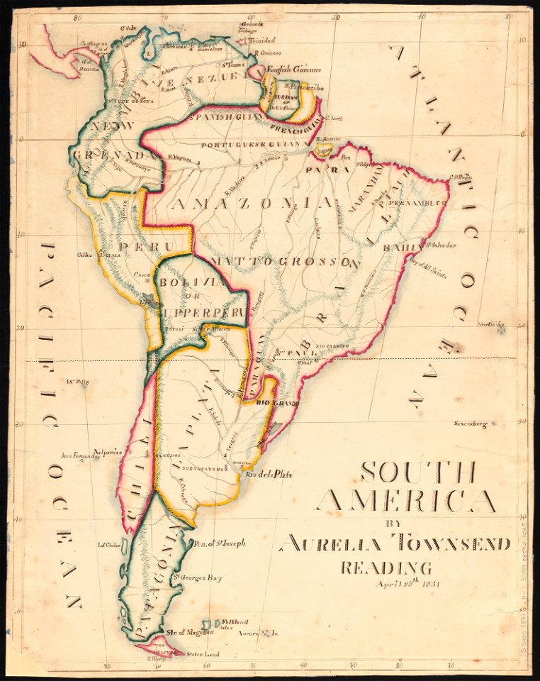
aurelia townsend herrick
1831 maps
offenbach-bieber
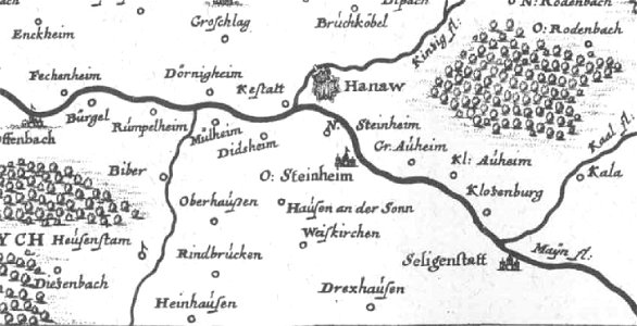
maps of hanau
pennsylvania
sheffield
pennsylvania
sheffield
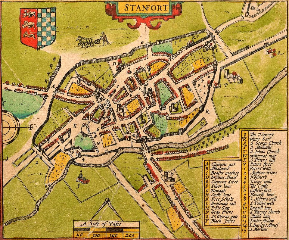
lincolnshire
stamford
fonds ancely - bibliothèque municipale de toulouse - maps
frédéric-auguste laguillermie
fonds ancely - bibliothèque municipale de toulouse - maps
victor levasseur - maps of france
fonds ancely - bibliothèque municipale de toulouse - maps
jean bart
important cultural property of japan in tokyo
maps in the national archives of japan
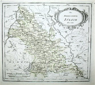
old maps of north rhine-westphalia
netherlands
hand-drawn maps and views of world war i battlefields by h.m.
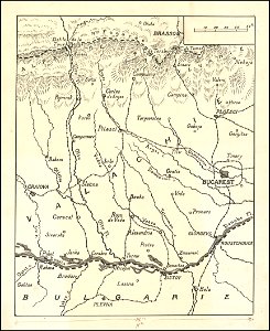
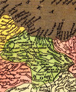
old maps of wallachia
claudio monteverdi
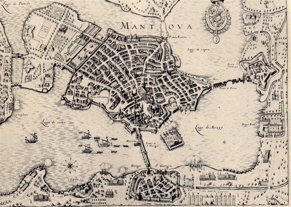
history of mantua
fonds ancely - bibliothèque municipale de toulouse - maps
coats of arms of rouen
university of toronto wenceslas hollar digital collection
hollar maps and plans of london
maps made in the 18th century
gerard valck
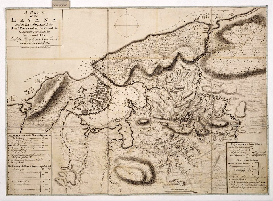
morro castle (havana)
london
maps by jacob van deventer
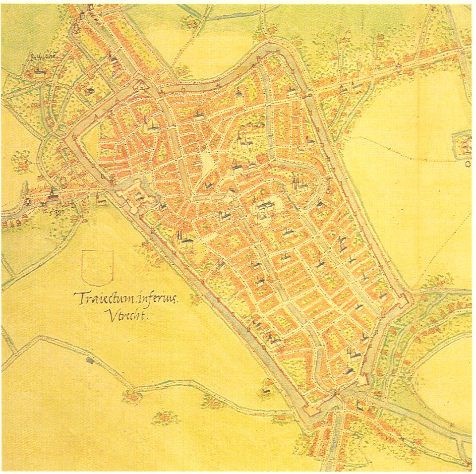
old maps of utrecht (city)
p.s. duval & son
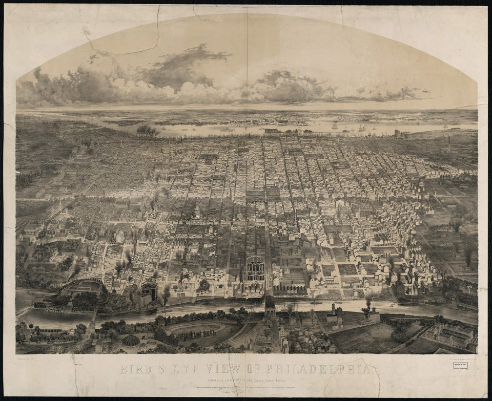
philadelphia in art
maps in the library of congress
new york
maps with cartouches
atlas van der hagen
maps with cartouches
atlas van der hagen
maps with cartouches
atlas van der hagen
old maps of scandinavia
maps with cartouches
maps with cartouches
atlas van der hagen
maps with cartouches
atlas van der hagen
maps with cartouches
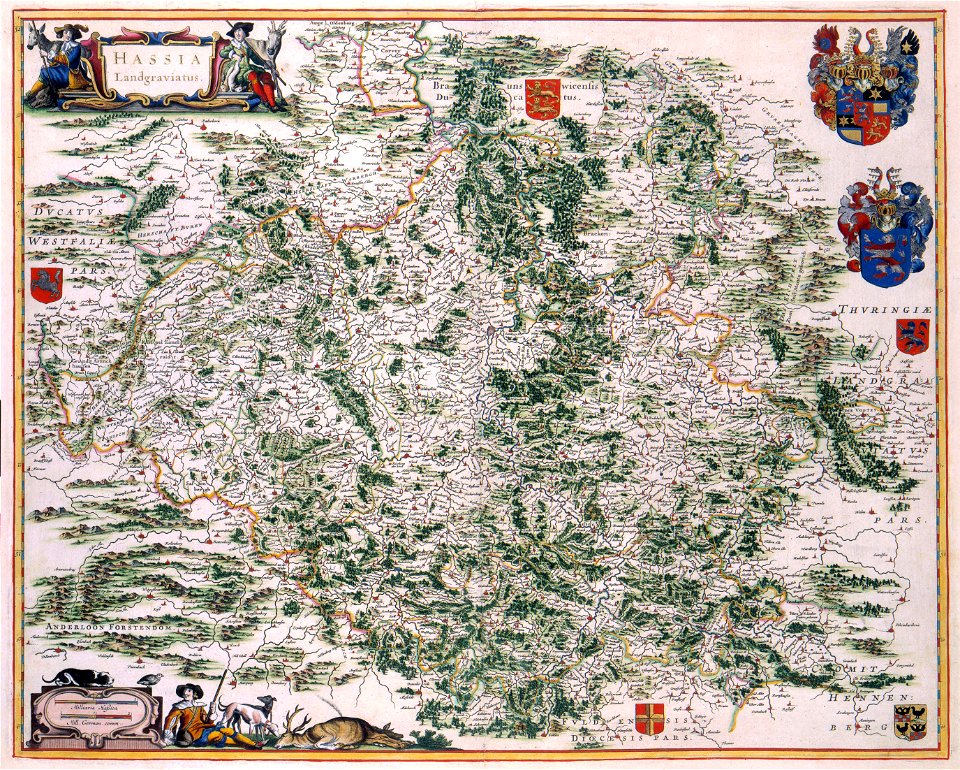
old maps of hesse
maps with cartouches
old maps of hesse
17th-century maps of france
maps with cartouches
17th-century maps of france
maps with cartouches
old maps of france
old maps of arras
old maps of japan
old maps of china
atlas van der hagen (volume 4)
maps with cartouches
maps with cartouches
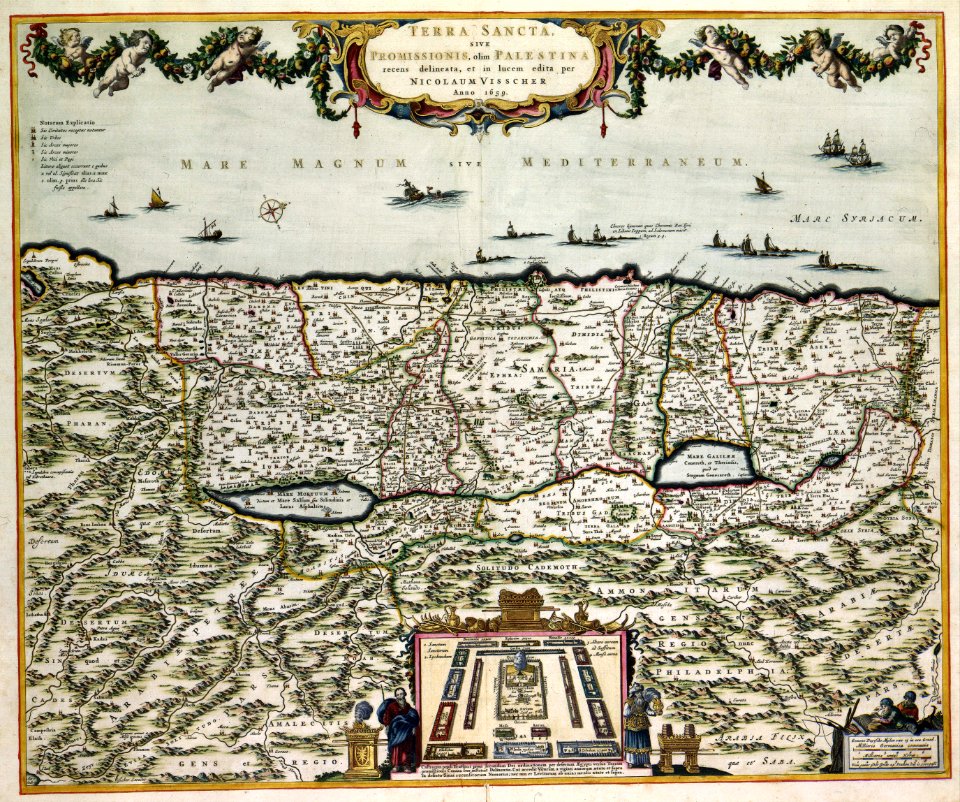
old maps of israel
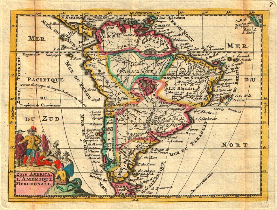
18th-century maps of the spanish empire
johannes ratelband
david rumsey historical map collection
j. and p. knapton
victor levasseur - maps of the world
frédéric-auguste laguillermie
david rumsey historical map collection
jr
maps from the mechanical curator collection
1814 maps
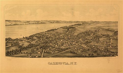
cazenovia
new york
new york
green
new york
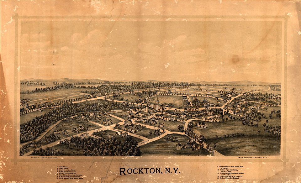
rockton
maps made in the 16th century
ignazio danti
dutch-language maps
atlas van loon
maps and topographical views by joris hoefnagel
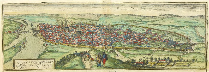
old maps of rouen
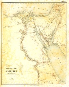
lepsius-projekt - maps
egypt in the 1850s
johannes van keulen
1753 maps
itinerarium hierosolymitanum et syriacum..., 1619
ships on maps
maps by gustav adolf von varendorf
maps of hamburg-billstedt
maps by willem and johannes blaeu
bourbourg
maps from turris babel
by athanasius kircher
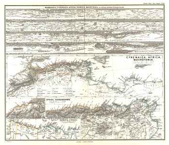
19th-century maps of africa
1865 maps
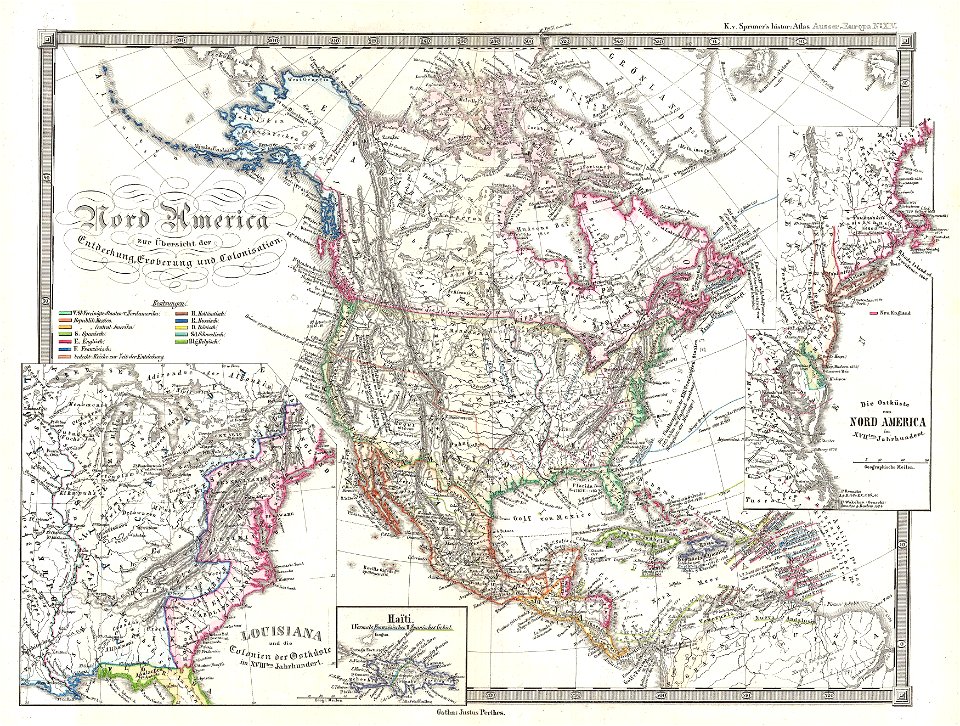
karl spruner von merz
1865 maps
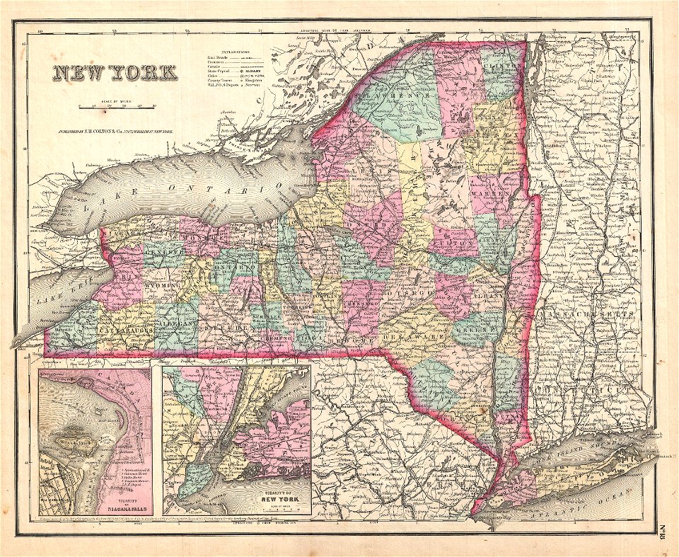
maps by joseph hutchins colton
1867 maps of new york (state)
maps by joseph hutchins colton
1855 maps of the united states
maps by joseph hutchins colton
1855 maps of new york (state)
karl spruner von merz
1855 maps
maps by joseph hutchins colton
1857 maps of new york (state)
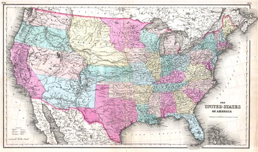
maps by joseph hutchins colton
1857 maps of the united states
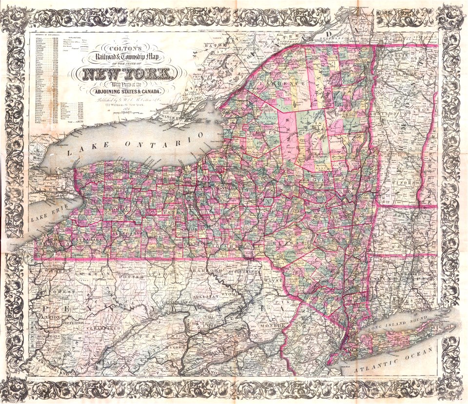
maps by joseph hutchins colton
1876 maps of new york (state)
maps by frederick de wit
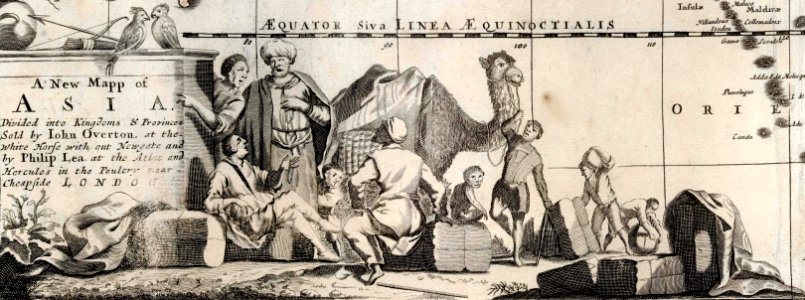
1680s maps of asia
maps by claude joseph sauthier
old maps of new york (state)
maps by claude joseph sauthier
old maps of new york (state)
maps by claude joseph sauthier
old maps of new york (state)
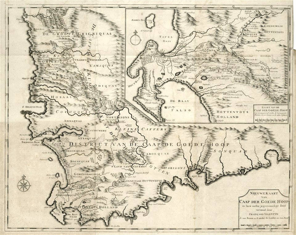
maps of the dutch east india company - south africa
1726 maps
maps of the dutch east india company - south africa
1726 maps
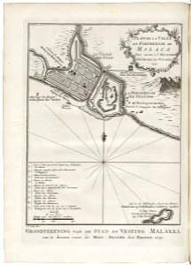
old maps of the dutch east india company - malaysia
1753 maps
maps of the west-indische compagnie
1768 maps
maps of the dutch east india company - indonesia
1753 maps
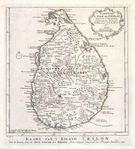
maps of the dutch east india company - sri lanka
1753 maps
claes jansz. visscher (ii)
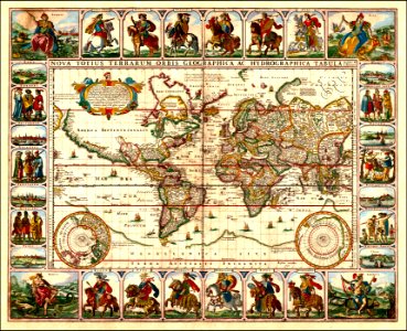
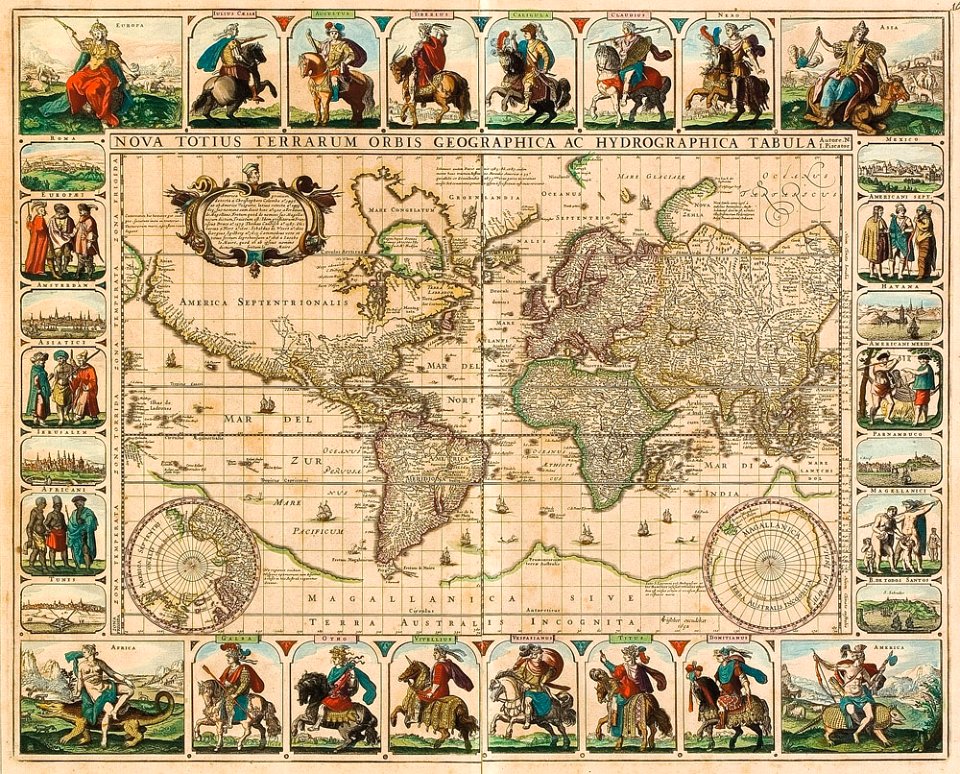
1650s maps of the world
claes jansz. visscher (ii)
1650s maps of the world
maps by willem and johannes blaeu
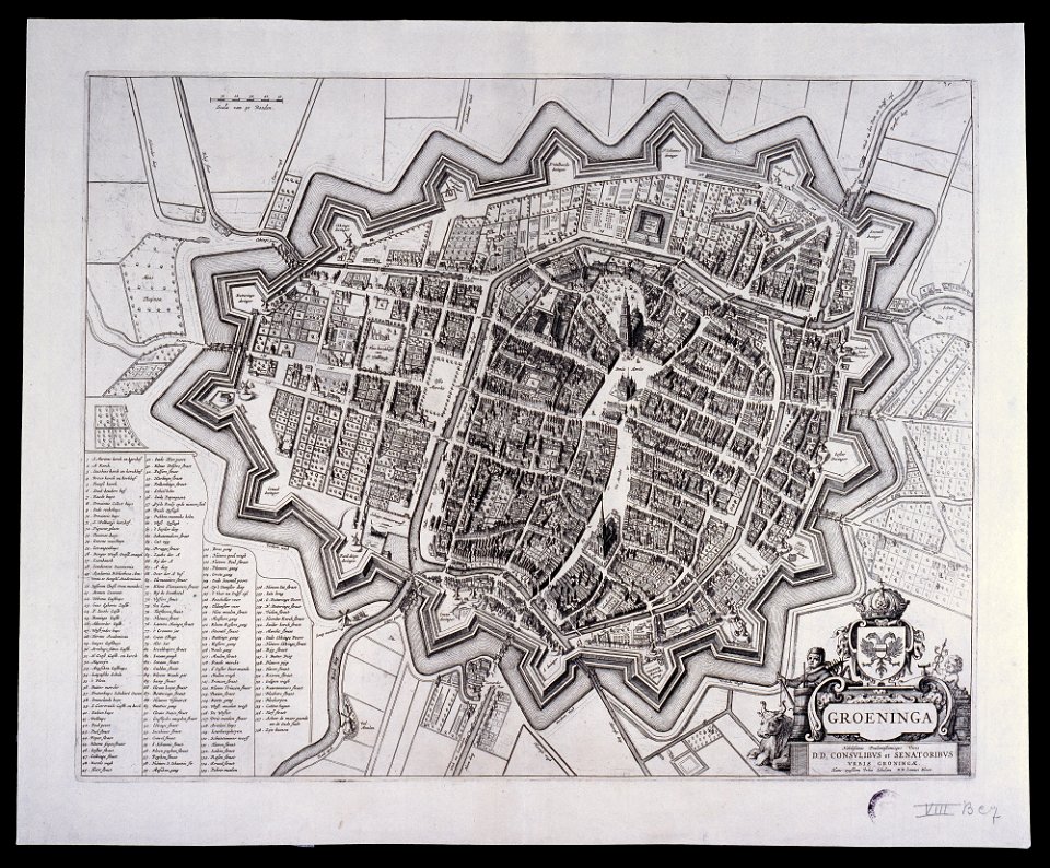
old maps of groningen (city)
new york
carthage
maps by jacques-nicolas bellin
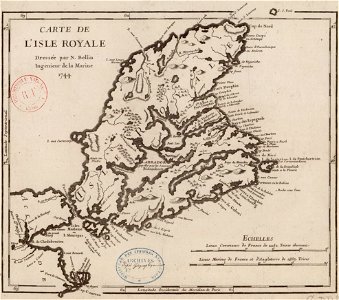
old maps of cape breton island
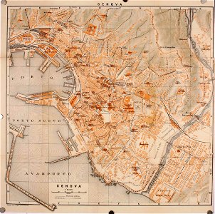
wagner & debes
old maps of genoa
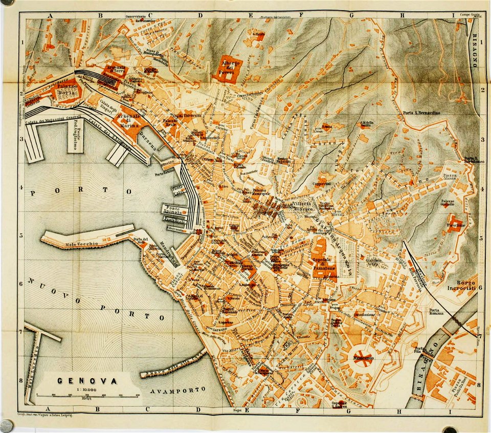
wagner & debes
old maps of genoa
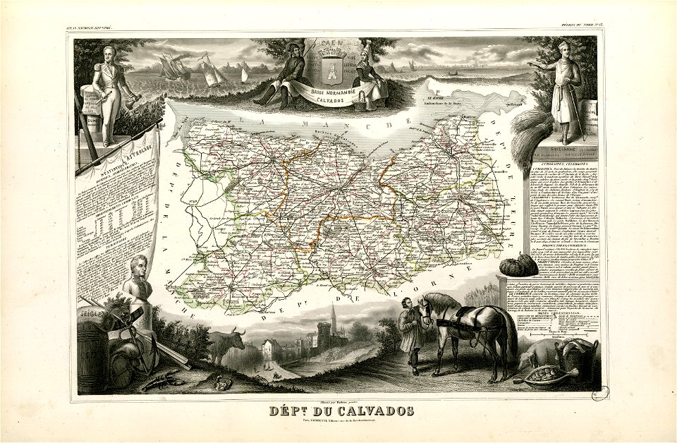
fonds ancely - bibliothèque municipale de toulouse - maps
old maps of calvados
17th-century maps of the world
maps by frederick de wit
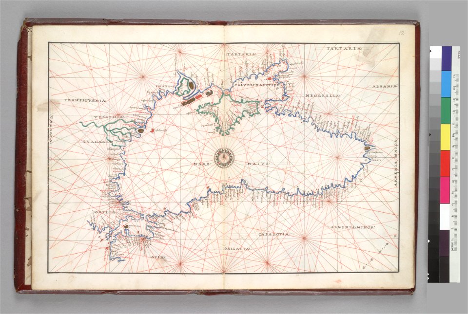
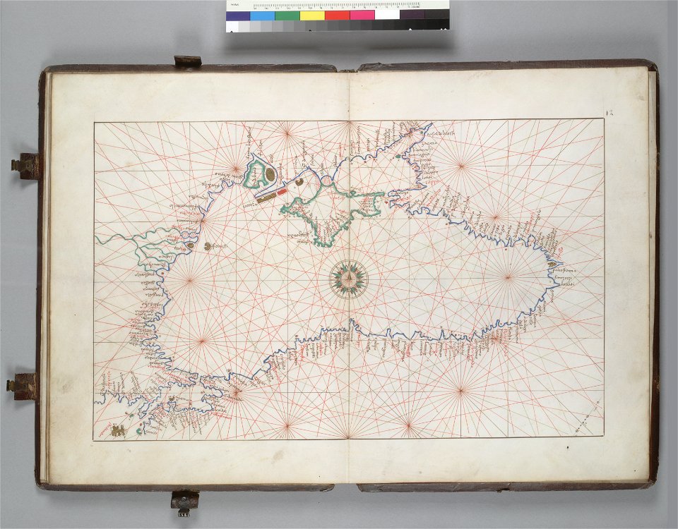
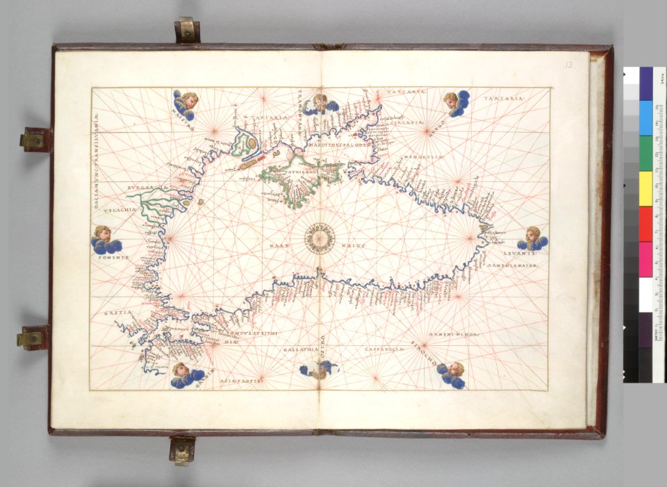
16th-century maps of the black sea
battista agnese
16th-century maps of the black sea
battista agnese
16th-century maps of the black sea
battista agnese
braun & hogenberg
georg braun
rail transport in chicago
1898 maps
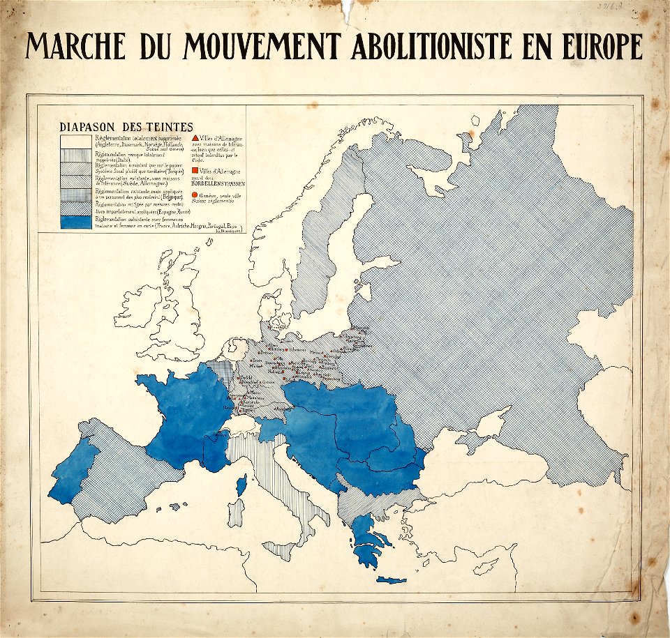
encyclopaedia universalis mundaneum
french-language maps of europe
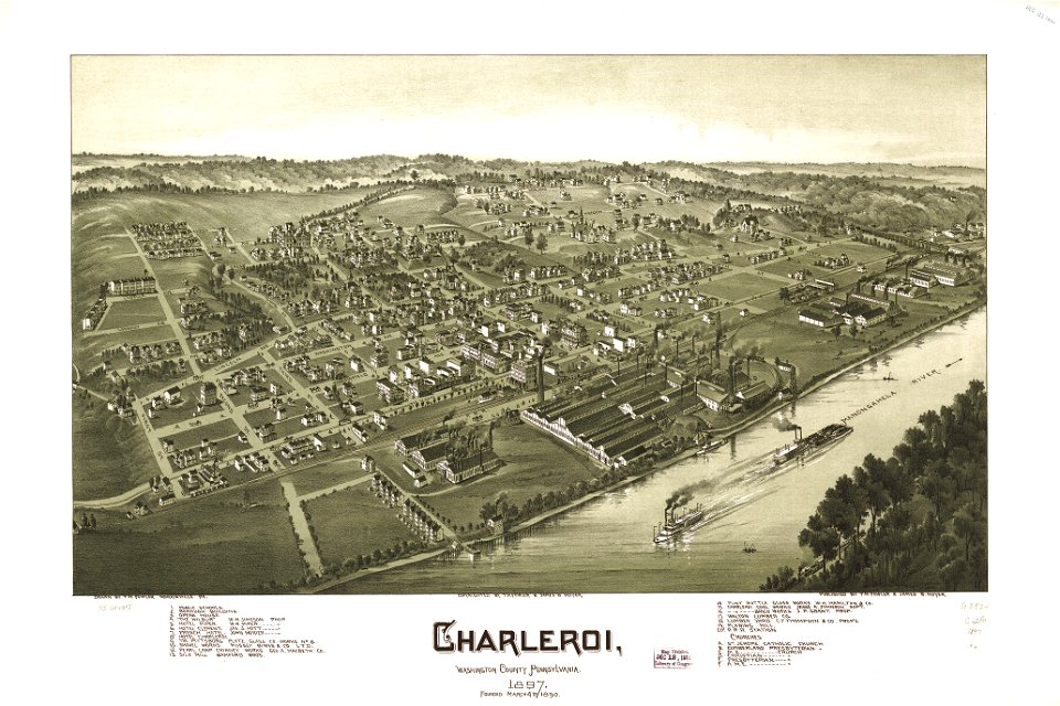
maps in the library of congress
charleroi historic district
maps in the library of congress
charleroi historic district
old maps of venice
johannes ratelband
maps by jacob van deventer
old maps of harderwijk
james cook (maps relating to)
robert sayer
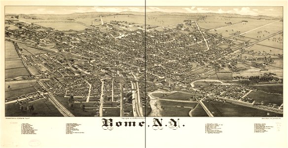
new york
rome
maps by royal bavarian land tax commission
old maps of freising
maps by royal bavarian land tax commission
old maps of freising
engravings by matthäus merian
1649 maps
maps by royal bavarian land tax commission
old maps of freising
maps by royal bavarian land tax commission
old maps of freising
3101 - 3200 of 1,095,865
Next page
/ 10959